
Mountain highways, national roads and high-altitude routes face growing geological risks: slope movement, subgrade settlement, bridge deformation and rockfall. Manual inspection is slow and difficult to maintain around the clock, especially across remote mountain sections.
A highway survey and design institute in northwest China needed an unattended monitoring and early-warning system for a high-altitude project spanning the Qinling-Bashan, Qinghai-Tibet and Loess Plateau regions. The system had to collect slope displacement, bridge structure, subgrade settlement, groundwater and weather data, and operate 7×24 without frequent site visits.
A three-tier monitoring architecture
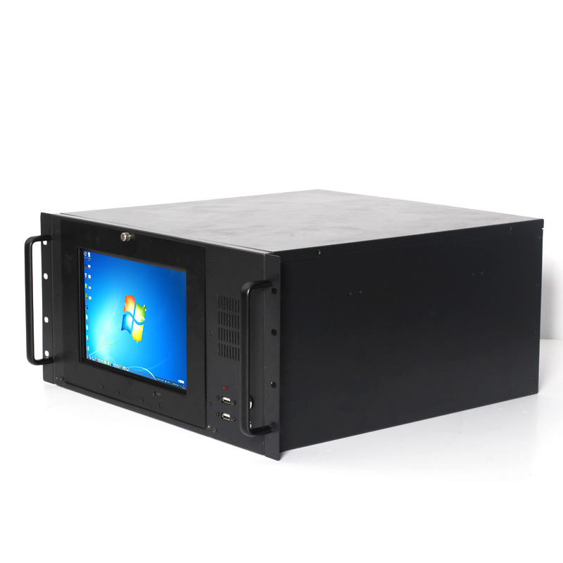
The project adopted a perception + edge computing + cloud platform architecture. Sensors and acquisition devices form the perception layer; the EPC-309C wide-temperature industrial computer acts as the edge node; the cloud platform handles visualization, alarms and long-term analysis.
- Wide-temperature operation: the EPC-309C is rated for -40~80°C, matching the project’s high-altitude and large temperature swings.
- Rich industrial I/O: multiple serial ports and dual Intel I210 Gigabit LAN connect acquisition units, cameras and communication equipment.
- Unattended reliability: fanless cooling, hardware auto power-on and watchdog support keep the node running after power recovery.
- Flexible backhaul: Mini-PCIe expansion supports Wi-Fi, 4G or 5G links for remote sites.
The edge node pre-processes and buffers data locally, reducing backhaul load and enabling threshold alarms even when the network is unstable. The result is continuous coverage of critical road sections with fewer site visits and faster warning response.
CESIPC supports highway, bridge, tunnel and slope-monitoring projects with wide-temperature computers, panel PCs and rugged field devices. Share your sensor and communication plan for a configuration proposal.